 Our Beautiful PlanetOur Beautiful Planet
Previous picture -- Next Picture
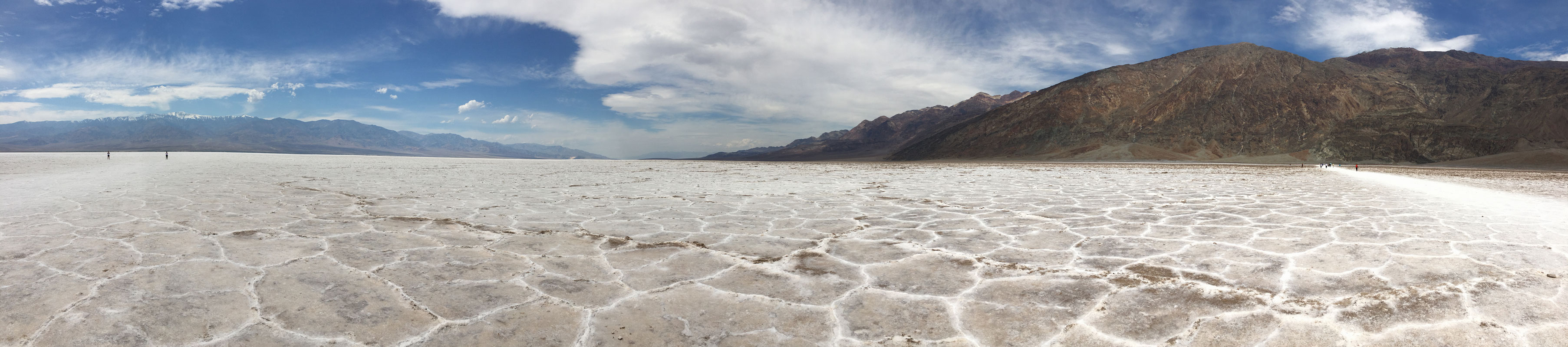
Badwater Basin at Death Valley National Park in mid-April 2019. Lowest point in North America at 282 feet = 85.5 meters below sea level. Expanding salt crystals ooze between mudcracks to make the polygonal patterns. Telescope Mountain is the snow-covered peak on the left side of the image. This image is 22% size of original.
Sign at Badwater Basin: Salt Flats
Crystal Power -- The vast, surreal salt flat of Badwater Basin change constantly. Salt crystals expand, pushing the crust of salt into rough, chaotic forms. Newly formed crystalls ooze between mudcracks, skeching strange patterns on the surface of the salt flat. Passing rainstorms wash off windblown dust and generate a fresh layer of blinding white salt. Floods create temporary lakes that dissolve salts back into solution, starting the process all over again.
Intense Concentration -- The source of Badwater's salts is Death Valley's drainage system of 9000 square miles--an area larger than New Hampshire. Rain falling on distant peaks creates floods that rush ever lower. Along the way, minerals dissolve from rocks and join the flood. Here, at the lowest elevation, floods come to rest, forming temporary lakes. As the water evaporates, minerals concentrate until only the salts remain. After thousands of years, enough salts have washed in to produce layer upoon layer of salt crust.
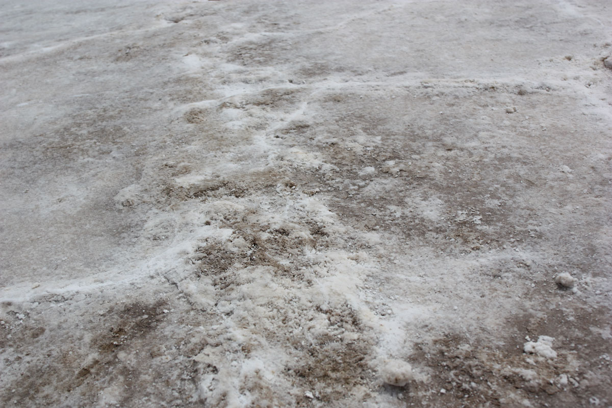
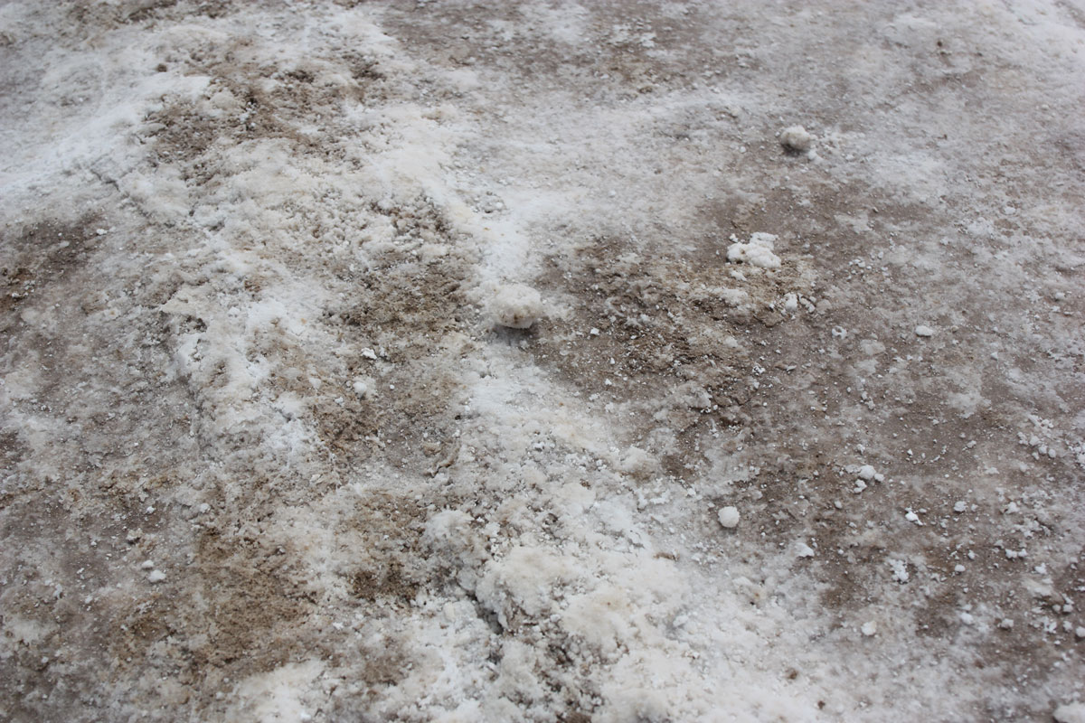
The pictures below show closeups of the ground with the salt crystals.
Previous picture -- Next Picture
last updated: July 5, 2021