Select the thumbnail picture to bring up a webpage with a larger version.
The size of the image on the webpage with a larger version is given so you
know how long it will take to download the page.
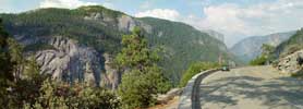
Near Tunnel View on Hwy 41, 2003 (582 KB)
|
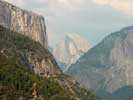
Half Dome from afar, 2003 (229 KB)
|
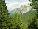
Bridal Veil Falls, context for next image, 2003 (332 KB)
|
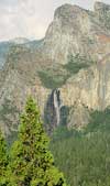
Bridal Veil Fall, 2003 (164 KB)
|
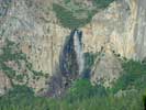
Bridal Veil Fall, 2003 (328 KB)
|
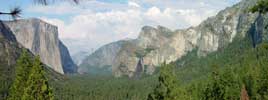
Yosemite near Valley View, 2003 (508 KB)
|
El Capitan, 2003 (468 KB)
|
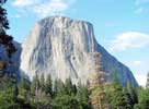
El Capitan, 2003 (276 KB) |

Cliffs from valley floor, 2003 (564 KB)
|
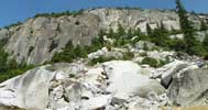
Landslide in Yosemite, 2003 (428 KB)
|
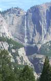
Yosemite Falls, 2003 (200 KB)
|
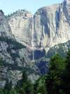
Yosemite Falls, 2003 (184 KB)
|

Yosemite at Valley Portal view, 2003 (668 KB)
|
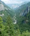
Merced River, context for next image, 2003 (164 KB)
|
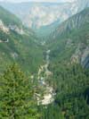
Merced River, 2003 (168 KB)
|
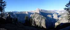
Washburn Point, 2010 (295 KB)
|

Washburn Point, 2010 (557 KB)
|

Washburn Point, 2010 (664 KB)
|
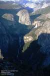
Vernal Fall and Nevada Fall, 2010 (221 KB)
|
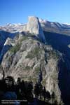
Half Dome, 2010 (270 KB)
|
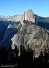
Half Dome, 2010 (213 KB)
|
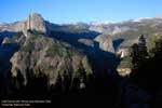
Half Dome + Vernal Fall + Nevada Fall, 2010 (201 KB) |

View from Glacier Point of Half Dome and surroundings, 2010 (471 KB) |

View from Glacier Point of Half Dome and surroundings, 2010 (381 KB) |
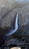
Upper and Lower Yosemite Falls, 2010 (218 KB) |
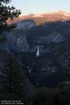
Nevada Fall + Vernal Fall context, 2010 (176 KB) |
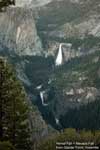
Nevada Fall + Vernal Fall, 2010 (238 KB) |
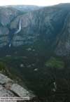
Upper and Lower Yosemite Falls + Yosemite Valley, 2010 (213 KB) |
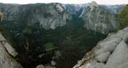
Yosemite Valley from Glacier Point, 2010 (1.2 MB) |
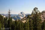 Half Dome from Olmsted Point, 2013 (237 KB) |
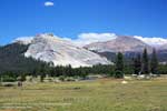
Lembert Dome and Mt Dana from Tuolumne Meadows, 2013
(229 KB)
|

Lukens Lake, 2013 (721 KB) |


