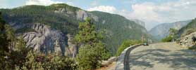
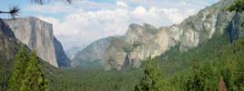
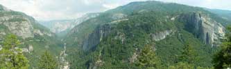
Near Tunnel View on Hwy 41, 2003 (582 KB)
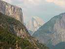
Half Dome from afar, 2003 (229 KB)
Bridal Veil Falls, context for next image, 2003 (332 KB)
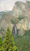
Bridal Veil Fall, 2003 (164 KB)
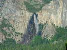
Bridal Veil Fall, 2003 (328 KB)
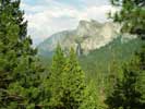
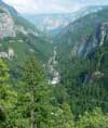
Yosemite near Valley View, 2003 (508 KB)
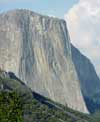
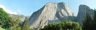
El Capitan, 2003 (468 KB)
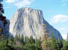
El Capitan, 2003 (276 KB)
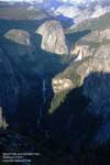
Cliffs from valley floor, 2003 (564 KB)
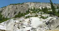
Landslide in Yosemite, 2003 (428 KB)
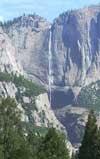
Yosemite Falls, 2003 (200 KB)
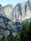
Yosemite Falls, 2003 (184 KB)
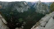
Yosemite at Valley Portal view, 2003 (668 KB)
Merced River, context for next image, 2003 (164 KB)
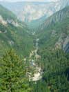
Merced River, 2003 (168 KB)
Washburn Point, 2010 (295 KB)
Washburn Point, 2010 (557 KB)
Washburn Point, 2010 (664 KB)
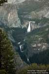
Vernal Fall and Nevada Fall, 2010 (221 KB)
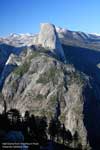
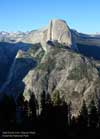
Half Dome, 2010 (270 KB)
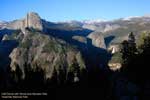
Half Dome, 2010 (213 KB)
Half Dome + Vernal Fall + Nevada Fall, 2010 (201 KB)
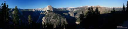
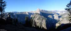
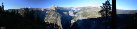
View from Glacier Point of Half Dome and surroundings, 2010 (471 KB)
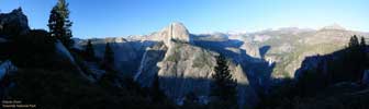
View from Glacier Point of Half Dome and surroundings, 2010 (381 KB)
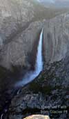
Upper and Lower Yosemite Falls, 2010 (218 KB)
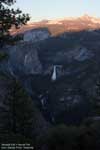
Nevada Fall + Vernal Fall context, 2010 (176 KB)
Nevada Fall + Vernal Fall, 2010 (238 KB)
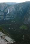
Upper and Lower Yosemite Falls + Yosemite Valley, 2010 (213 KB)
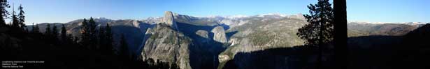
Yosemite Valley from Glacier Point, 2010 (1.2 MB)
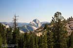
Half Dome from Olmsted Point, 2013 (237 KB)
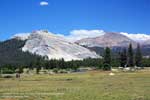
Lembert Dome and Mt Dana from Tuolumne Meadows, 2013
(229 KB)
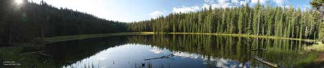
Lukens Lake, 2013 (721 KB)