 Our Beautiful PlanetOur Beautiful Planet
Previous picture -- Next Picture
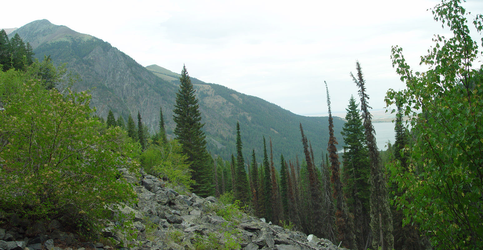 South
end of Wallowa Lake (Oregon USA) viewed from trail to Aneroid Lake that goes
along the East Fork of the Wallowa River. Mosaic of pictures taken early
August 2003 from
approx
long. =117.2 W, lat. = 45.26 N. This image is 44%
size of the original.
South
end of Wallowa Lake (Oregon USA) viewed from trail to Aneroid Lake that goes
along the East Fork of the Wallowa River. Mosaic of pictures taken early
August 2003 from
approx
long. =117.2 W, lat. = 45.26 N. This image is 44%
size of the original.
Previous picture -- Next Picture
Land Formations album -- Streams and Life album
last updated: December 12, 2004